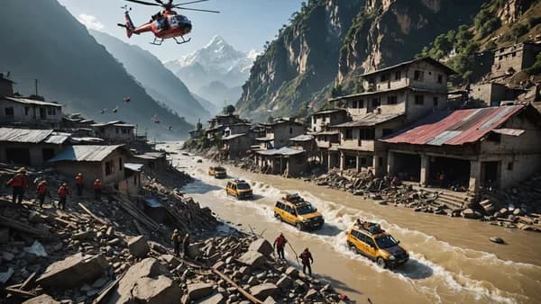
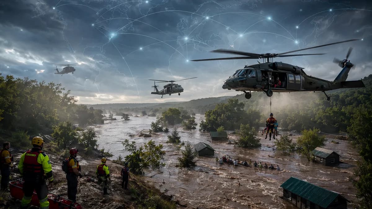
Missouri flooding turned a summer-camp evacuation into an air rescue, with more than 200 children and staff flown out by Black Hawk helicopters after washed-out roads trapped them near Lesterville. Heavy rain battered parts of the state Friday, forcing rescues from camps, rooftops, trees and vehicles, according to Guardian World.
XOOMAR Intelligence
Analyst Take
The sharpest signal from the Missouri flooding is not just the rainfall total. It’s the speed at which recreation areas became rescue zones. The National Weather Service said parts of the area received 6-12in (15-30cm) of rain as thunderstorms stacked over the region, while Missouri Gov. Mike Kehoe declared a state of emergency and activated a state search and rescue team.
Missouri flooding forces Black Hawk evacuation of Camp Taum Sauk children
The core fact is stark: roads failed, so helicopters became the evacuation route. More than 200 children and staff were trapped at Camp Taum Sauk in the small south-eastern community of Lesterville, Sgt Eddie Young of the Missouri State Highway Patrol said. Nearby roads had been washed away, and more rain was in the forecast.
The Army National Guard used Black Hawk helicopters to fly campers and counselors to a nearby elementary school, where they were reunited with their families, Young said. That detail matters because it shows the evacuation was not only about moving people out of immediate danger. It also required getting them to a controlled location where families could reconnect with them as the wider flood response continued.
The camp later thanked emergency crews in an Instagram post.
“We are beyond thankful for your help keeping our camp community safe.”
The counterpoint is that officials reported no major injuries or fatalities in the Camp Taum Sauk evacuation. That is the best available news in a chaotic rescue. But it doesn’t soften the operational reality: when roads disappear, conventional evacuation plans shrink fast, and airlift capacity becomes the difference between isolation and safety.
A quick contrast shows how the Missouri flooding split into multiple emergencies at once:
| Location | People affected | Main hazard | Reported outcome |
|---|---|---|---|
| Camp Taum Sauk, Lesterville | More than 200 children and staff | Washed-out roads, continued rain threat | Airlifted by Black Hawk helicopters to a nearby elementary school |
| Bearcat Getaway campground near the Black River | About 20 people | Floodwater, collapsed building | Rescued after shelter structure gave way |
| Black River in Reynolds County | 3 people | Trapped in trees | Rescued Friday evening |
XOOMAR analysis: The strongest sign that this remained a live emergency late Friday was not one single rescue, but the spread of rescues across different settings. Camps, campgrounds, trees, rooftops and stranded vehicles all appeared in official accounts. That pattern points to flooding that cut across planned recreation areas and low-lying infrastructure at the same time.
For broader disaster context, XOOMAR has also tracked how fast weather and terrain can turn public gathering places into danger zones, including Rohingya Camp Landslide Buries School, Kills 5 Children and Dam Collapse Sends Tropical Storm Maysak Toll to 39.
Collapsed campground building adds another rescue emergency near Lesterville
The Bearcat Getaway rescue shows why this Missouri flooding was dangerous even for people who had already moved to higher ground. About 20 people at the campground near the Black River, around 85 miles (136km) south of St Louis, climbed onto a building to escape the water, Young said. The building then collapsed.
Young described the failure plainly.
“Between the weight and the constant waters underneath it, it just gave away on them,” he said.
That quote carries the key lesson of the campground rescue: temporary refuge can become unstable when floodwater keeps pushing underneath it. The source does not say the people on the building suffered major injuries, and officials said there were no reports of major injuries or fatalities overall. Still, the collapse created a second emergency inside the first one.
Three other people were trapped in trees on the Black River in Reynolds County and were rescued Friday evening, Young said. In the same county, two rescue boats capsized in the flooding, according to the sheriff’s office, though other emergency personnel safely recovered the responders. That detail underscores the conditions rescuers faced without adding drama the facts don’t support.
The strongest counterpoint is that the rescue system held. Campers were airlifted, people on the collapsed building were rescued, tree rescues succeeded, and capsized responders were recovered. But the Missouri flooding had already crossed a critical threshold by then: it was not contained to one camp, one road or one riverbank.
A woman in Crawford County was missing after a house she was in was swept from its foundation by the flooding, Young said. Crawford County is about 71 miles (114km) south-west of St Louis. That unresolved case remains the gravest known uncertainty in the official account provided.
Black River rise and more rain threaten to stretch recovery
The next risk is that the same conditions that forced the rescues could slow the recovery. The National Weather Service issued flash flood warnings for the area after the heavy rainfall. Matt Beitscher, a lead meteorologist with the NWS office in St. Louis, said thunderstorms had repeatedly piled over the region.
Beitscher also pointed to why the affected counties were especially exposed on a Friday in summer.
“It’s very, very popular place for recreation,” Beitscher said. “So there are campgrounds there. There are float trip locations there. A lot of vulnerable populations that would be susceptible to flash flooding.”
The NWS warned that if south-eastern Missouri received more heavy rain overnight into Saturday morning, “considerable flood impacts will be likely.” Kehoe said several major roads were impassable due to flooding and damage, and warned that the Black River was continuing to rise. It was expected to crest at more than 28ft (8.5m) near Annapolis in south-eastern Missouri, which would be a record for the waterway.
Kehoe urged residents in flood-prone and low-lying areas to stay alert.
“As recovery efforts continue and additional rain is expected, I urge everyone in flood-prone and low-lying areas to stay weather-aware, have multiple ways of receiving alerts and be ready to take protective action,” Kehoe said in a statement.
XOOMAR analysis: The practical pressure points now come directly from the official facts already on the table: impassable roads, damaged routes, a rising Black River, more rain risk and at least one missing person. Families will want to know when roads reopen, whether camps remain accessible, and whether more evacuations are needed. Residents in low-lying areas will be watching alerts, river levels and local rescue updates.
What would change the assessment is clear: updated reports on the missing Crawford County woman, revised river crest data near Annapolis, new injury totals, or confirmation that major roads have reopened. Until then, Missouri flooding remains a fast-moving rescue and recovery story, with the next round of rain carrying the power to turn cleared areas dangerous again.
Impact Analysis
- More than 200 children and staff had to be airlifted after washed-out roads cut off Camp Taum Sauk.
- The flooding shows how quickly recreation areas can become emergency rescue zones during intense rainfall.
- Missouri’s emergency declaration and National Guard deployment underscore the scale of the response.
Reported Rainfall in Flood-Hit Missouri Areas
Primary Sources & Disclosures

Written by
XOOMAR Insights Team
Research and Editorial Desk
The XOOMAR Insights Team pairs automated research with human editorial judgment. We track hundreds of sources across technology, fintech, trading, SaaS, and cybersecurity, cross-check the facts, and explain what happened, why it matters, and what to watch next. We do not just rewrite headlines. Every article is fact-checked and scored for reliability before it goes live, and we link back to the original sources so you can verify anything yourself.