
Guatemala’s most active volcano is erupting with explosive force, triggering the evacuation of hundreds and casting a massive ash cloud over a major tourist region.

Global TrendsAugust 4, 2026· 4 min read· By XOOMAR Insights Team
Fuego Volcano Roars to Life, Forces Mass Evacuations
Updated on August 4, 2026
XOOMAR Intelligence
Analyst Take
61/ 100
4 sources analyzedLow confidenceTrend10Freshness97Source Trust92Factual Grounding93Signal Cluster40
The Fuego volcano, located just 16km west of the colonial tourist hub Antigua Guatemala, entered a new eruptive phase on Monday, August 4, 2026. Intensifying overnight, the activity prompted authorities to declare an “orange alert”, the country's second highest emergency, and evacuate approximately 400 people from vulnerable communities according to BBC World. This immediate response is driven by the most intense volcanic activity seen at Fuego since at least March 2025, and carries the heavy legacy of a catastrophic 2018 eruption that killed hundreds.
A Rapid Escalation Forces Immediate Evacuations
The situation escalated quickly. Guatemala's National Institute of Seismology, Volcanology, Meteorology and Hydrology (INSIVUMEH) reported that activity which began Monday “intensified significantly overnight.” This forced the activation of the state disaster agency, CONRED.
The response was swift and specific.
- Evacuations: Around 400 people from communities including El Porvenir and the hamlet of Las Lajitas were moved to temporary shelters in Alotenango and Escuintla city. Other sources note evacuations of more than 350 people from about 85 families.
- Road Closures: Authorities closed National Route 14, a critical highway linking the Pacific coast to Antigua Guatemala, due to its proximity to the volcano.
- Public Safety: Schools were closed, in-person classes suspended, and the Guatemalan Tourism Institute banned all climbing on both Fuego and the neighboring Acatenango volcano, a popular hiking destination for eruption views.
“PAROXISMO: CONTINÚA FASE INTENSA DE LA ERUPCIÓN VOLCÁN DE FUEGO” — INSIVUMEH official bulletin on August 4, 2026.
The visual and scientific data underscored the danger. On Tuesday, the 12,346-foot-high volcano was producing massive columns of ash and gas rising more than 19,700 feet above sea level. Incandescent lava fountains reached about 980 feet above the crater, and high-speed pyroclastic flows—deadly mixtures of hot gas and volcanic matter—began descending through the Seca and Ceniza ravines on the southern and western slopes.
Why This Eruption Raises Alarm Bells
Fuego is Central America’s most active volcano, but this event has distinct, dangerous characteristics. The declaration of an orange alert across three departments (Escuintla, Sacatepéquez, and Chimaltenango) signals authorities believe the threat is substantial and widespread.
Geography equals risk. The volcano’s location means:
- Ash clouds have reportedly traveled up to 60 kilometers west, threatening air traffic and agriculture.
- The proximity to Antigua, a UNESCO World Heritage Site and tourism linchpin, adds a layer of economic and logistical complexity beyond the immediate rural evacuations.
- Densely populated agricultural communities live on its fertile slopes, directly in the path of pyroclastic flows and ashfall.
The 2018 eruption is the unavoidable reference point. That event buried the village of San Miguel Los Lotes, killing 215 people and leaving hundreds missing. While the current response appears more proactive, the memory of that disaster weighs heavily on both evacuees and officials. A similar orange alert and preventative evacuations were necessary as recently as March 2025, displacing about 1,000 residents, showing that this is part of a frequent, hazardous pattern of activity. This event, like others, shows how extreme weather and geological activity can force large-scale emergency responses, as seen recently in our coverage of the Heatwave Squeezes Crews at France and Spain Wildfires.
The Critical 72-Hour Window for Response
The immediate focus is on the next 24 to 72 hours. Authorities have stated the current intense phase of volcanic activity could continue for that duration. CONRED and INSIVUMEH are maintaining around-the-clock monitoring.
Key logistical challenges now include:
- Shelter Management: Safely housing hundreds of evacuees for an indeterminate period in shelters in Alotenango and Escuintla.
- Aid and Access: Keeping supply routes open and managing ash cleanup to maintain access for emergency vehicles, especially if National Route 14 remains closed.
- Public Compliance: Ensuring residents in at-risk zones heed evacuation orders and that tourists and hikers respect the climbing ban on Acatenango. Local reports indicate some onlookers were still attempting to climb for social media footage despite the prohibition.
XOOMAR Analysis: The critical watch item is the behavior of the pyroclastic flows in the Seca and Ceniza ravines. These are the most immediate, lethal hazard. Any significant increase in their volume or speed could necessitate further, more urgent evacuations and would be the primary indicator of an escalating crisis. Officials will also be monitoring for signs of lahars—destructive mudflows of volcanic debris and water—which can occur with heavy rainfall on fresh ash deposits.
The official sources for updates are INSIVUMEH for scientific data and CONRED for emergency directives. Their next bulletins will determine whether this intense paroxysmal phase begins to subside or if Guatemala must brace for a longer, more disruptive volcanic event.
Impact Analysis
- This eruption threatens both the safety of local communities and the tourism-dependent economy of the Antigua region.
- The emergency closure of a major highway disrupts critical supply chains connecting coastal areas and the tourist hub.
- Given Fuego's history of catastrophic eruptions, this rapid intensification requires immediate attention from authorities and residents.
Sources

Written by
XOOMAR Insights Team
Research and Editorial Desk
The XOOMAR Insights Team pairs automated research with human editorial judgment. We track hundreds of sources across technology, fintech, trading, SaaS, and cybersecurity, cross-check the facts, and explain what happened, why it matters, and what to watch next. We do not just rewrite headlines. Every article is fact-checked and scored for reliability before it goes live, and we link back to the original sources so you can verify anything yourself.
Explore More Topics
Related Articles
 Global Trends
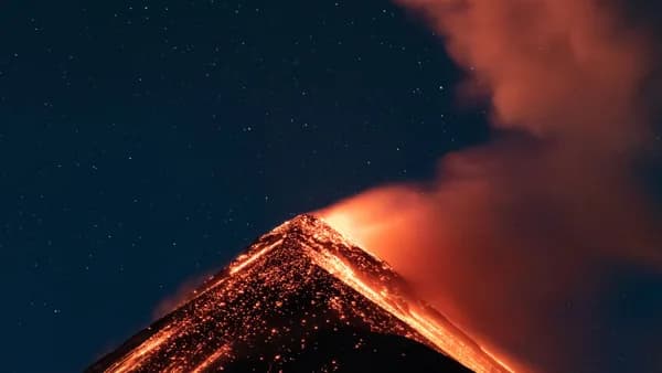
Fuego Volcano Springs to Life, Forcing 659 from Homes
Guatemala's Fuego volcano erupted violently, forcing the evacuation of 659 people from eight villages and suspending life in its shadow for over 23 hours.
Aug 4, 20267 min
 Global Trends
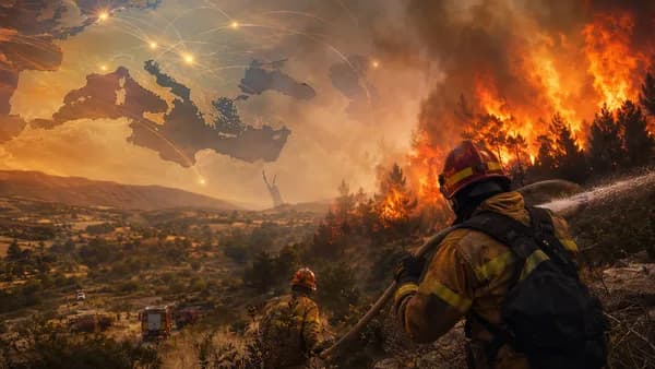
Heatwave Squeezes Crews at France and Spain Wildfires
Crews in France and Spain have a shrinking window to contain massive fires before heat and wind threaten new flare-ups.
Aug 2, 20267 min
 Global Trends
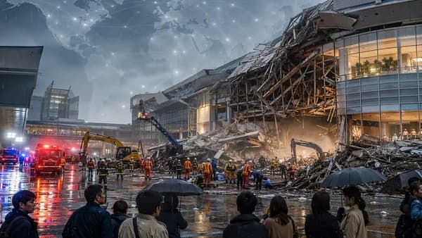
Mall Floor Caves In as Japan Earthquake Kills 13 People
Rescuers are searching Aeon Mall after a deadly Japan earthquake collapsed part of the building and left people trapped.
Aug 2, 20266 min
 Global Trends
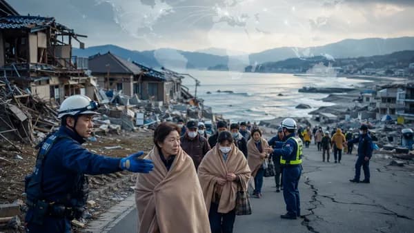
13 Dead as Japan Earthquake Traps Survivors in Rubble
At least 13 are dead after the Kumamoto quake. Crews are digging through a collapsed mall and paper mill for survivors.
Jul 31, 20266 min
 Global Trends
100 Aftershocks Turn Japan Earthquake Into Rescue Race
More than 100 aftershocks hit Kyushu after a 6.8 quake killed 13, turning rescue work into a race against time.
Jul 29, 20265 min
 Fintech
Caterpillar Smashes Records on AI's Power and Dirt Bill
Caterpillar posted a record $20.5 billion quarter, powered by surging sales of generators and construction gear for energy-hungry AI data centers, revealing the
Aug 4, 20267 min
 Fintech
Thredd Fuels Pliant's Invasion of US Corporate Card Market
Thredd is powering European fintech Pliant's US launch, weaponizing embedded finance to replace legacy corporate cards with a software platform that automates r
Aug 4, 20267 min
 Fintech
Circle Plunges 20% as Visa Backs Rival Stablecoin
When Visa, Mastercard, and Coinbase backed the rival Open USD stablecoin, Circle's stock tumbled 20%. The plunge signals a critical shift where network partners
Aug 4, 20268 min
 Fintech
FDIC Gives Banks a New Tool to Fight Enforcement Actions
The FDIC has activated an independent Office of Supervisory Appeals, creating a formal path for banks to dispute exam findings and avoid enforcement actions wit
Aug 4, 20265 min
 Technology
TechCrunch Disrupt Drops Final $100 Ticket Flash Sale
TechCrunch has launched an unannounced final $100 discount on all passes for Disrupt 2026, a last promotional push before ticket prices rise in two weeks.
Aug 4, 20264 min
Don't miss the signal
Get our weekly roundup of the stories that matter across tech, fintech, and trading. No noise, just signal.
Free forever. No spam. Unsubscribe anytime.