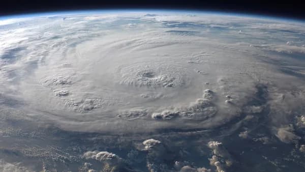
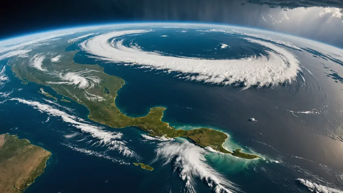
The first named storm of the 2026 Atlantic season is poised to drench the Texas and Louisiana coast with potentially devastating floods, forcing an abrupt shift from seasonal vigilance to immediate action according to Guardian World. Tropical Storm Edouard upgraded from a depression Monday night, had maximum sustained winds of 40mph early Tuesday and was expected to make landfall in Texas later that day. For residents and officials, the calendar flipping to September now comes with a tangible, waterlogged threat.
XOOMAR Intelligence
Analyst Take
The Flood Calculus: Houston Braces for Inches, Not Wind
While the wind speeds are minimal for a tropical storm, the water is the story. The National Hurricane Center (NHC) forecast anticipates 3 to 6 inches (7-15cm) of rain in the greater Houston area, with isolated totals up to 9 inches along the upper Texas coast. The critical detail is the rainfall rate: forecasters warn more than 4 inches per hour could fall, “probably caus[ing] flash flooding in low-lying and urban areas.”
Texas Governor Greg Abbott pinpointed the core risk: “the biggest problem expected from the storm was flooding.” This highlights a frequent, dangerous misconception: a storm’s category doesn’t define its damage potential. A slow-moving, rain-heavy system like Edouard can overwhelm drainage in major metro areas like Houston faster than hurricane-force winds arrive hundreds of miles away. The storm’s Tuesday morning position, 65 miles south-southeast of Cameron, Louisiana, and its west-northwest track at 8mph, sets it on course to batter the same coastal parishes and counties most vulnerable to surge and inland deluge.
“This is our first big storm of the season, and I’ll tell you, Texas is prepared,” said Orlando Alanis of the Texas Division of Emergency Management.
This official statement of readiness, however, faces its first real-world test. Preparation is visible; crews cleared dry vegetation that could ignite from lightning, as noted by Governor Abbott. But the true measure of preparedness will be how the region handles the imminent flash flooding.
Stakeholder Snapshots: Who Feels the Pressure First
The approach of a named storm triggers a domino effect of decisions long before landfall. The source material offers a clear view of who is already in motion.
Emergency Managers like Alanis are in a credibility-balancing act. Over-warning for a tropical storm can lead to public complacency later in a hyperactive season. Under-warning, as the NHC’s specific flood projections show, is not an option. Their directives now set the tone for public response to the next, potentially stronger, storm.
The Energy Sector, though not detailed in this source, faces immediate logistical pressures. With the storm aimed at the central Gulf Coast, securing offshore platforms and adjusting maritime traffic becomes urgent, even for a 40mph storm. Any disruption, however minor, ripples through just-in-time supply chains.
Local Residents confront the grind of “storm fatigue.” The choreography of preparation, securing property, checking supplies, monitoring updates, is a sunk cost of time and stress for an event that may deliver “just” a disruptive, home-confining rain. Yet, as Abbott’s warning confirms, dismissing it carries real risk.
Business Owners, from the Galveston pier shop to the Houston refinery, face a lose-lose calculus. Closing early safeguards employees but loses revenue. Remaining open risks stranding staff and facing property damage if flash flooding hits. This early-season event forces a sharp, unplanned business continuity drill.
A Pacific Mirror: Lowell and Karina Show What 'Active' Looks Like
The Guardian’s report provides crucial, sobering context: the Atlantic isn’t alone. While Edouard heads for the Gulf, the Pacific is churning with activity that underscores what a busy global storm season entails.
Tropical Storm Lowell, about 630 miles southeast of Hilo, Hawaii, with 70mph winds, could “rapidly intensify and become a major hurricane by Wednesday.” Meanwhile, Hurricane Karina strengthened into a “powerful category 4 storm” with 140mph winds, though it remains far from land. Another system, Tropical Storm Marie, formed off Mexico.
XOOMAR Interpretation: This simultaneous activity across basins strains resources, from forecasters at the NHC and Central Pacific Hurricane Center to the media attention needed to keep multiple publics informed. It’s a reminder that Edouard, while the Atlantic’s first big storm, is part of a broader pattern of tropical energy. For logistics companies and insurers with global exposure, this isn’t a single event but a distributed risk. The financial implications of a major hurricane hitting Hawaii or a Category 4 storm threatening shipping lanes, as seen with past Pacific storms, can dwarf the direct costs of a Gulf tropical storm. This global view is essential for a complete risk assessment.
Edouard’s Legacy: A Dry Run for the Big One
The true impact of Tropical Storm Edouard may be measured not in inches of rain but in lessons learned. As the first event of the season, it functions as a live, unscripted stress test for everything from household preparedness kits to county-level emergency coordination.
What worked? Were mass-notification tools effective? Was the public messaging on flash flooding, specifically the distinction between this and a wind event, clear enough? The answer will recalibrate strategies for the next advisory.
What broke? The storm will expose localized gaps: a clogged drainage canal in a mid-size city, an unclear evacuation protocol for a coastal parish, a failure in business-to-employee communication. Identifying these now is a rare gift before a hurricane arrives.
XOOMAR Analysis: Psychologically, Edouard resets the clock. The abstract “busy forecast” becomes concrete. This should, in theory, make the public more responsive to future warnings. However, if the storm underperforms forecasts, it could breed dangerous complacency. If the flooding is severe, it could spike baseline anxiety for months. Officials must manage not just the water, but the narrative.
For the Gulf Coast, the season’s opening act has begun. The final line of the Guardian report, noting Edouard’s formation and the Pacific hurricanes, signals a simple reality: this is not an isolated incident. It is the opening note in a long symphony of atmospheric volatility. How Texas and Louisiana perform this week will be their rehearsal for the main event, whenever it arrives. The region’s exposure to global economic currents, similar to the pressures felt by U.S. Bank deploying bankers to the Sun Belt, means disruption here resonates far beyond state lines. Furthermore, the strain on public resources ahead of any federal disaster declaration echoes in other sectors where support systems are being tested, a dynamic seen in the end of minority loan programs at major banks. The watchword now is execution.
Impact Analysis
- A slow-moving tropical storm with intense rainfall rates can cause catastrophic flash flooding even with minimal wind speeds, directly threatening urban drainage systems and low-lying areas.
- As the first named storm of the 2026 season, Edouard represents an immediate test of emergency preparedness and public readiness after a period of seasonal vigilance.
- The storm reinforces the critical lesson that a storm's category does not define its danger, as water—not wind—often poses the greatest lethal risk during tropical events.
Storm Threat Comparison: Wind Speed vs. Rainfall Risk
| Risk Factor | Tropical Storm Edouard | Typical Hurricane Threat |
|---|---|---|
| Maximum Sustained Winds | 40 mph | 74+ mph |
| Primary Danger | Flooding from intense rainfall | Wind damage, storm surge |
| Rainfall Forecast | 3-6 inches (up to 9 inches isolated) | Varies, often heavy |
| Rainfall Rate | More than 4 inches per hour | Typically lower rates |
| Impact Speed | Slow-moving (8 mph) → prolonged rain | Often faster-moving |
Forecast Rainfall for Tropical Storm Edouard
Primary Sources & Disclosures

Written by
XOOMAR Insights Team
Research and Editorial Desk
The XOOMAR Insights Team pairs automated research with human editorial judgment. We track hundreds of sources across technology, fintech, trading, SaaS, and cybersecurity, cross-check the facts, and explain what happened, why it matters, and what to watch next. We do not just rewrite headlines. Every article is fact-checked and scored for reliability before it goes live, and we link back to the original sources so you can verify anything yourself.