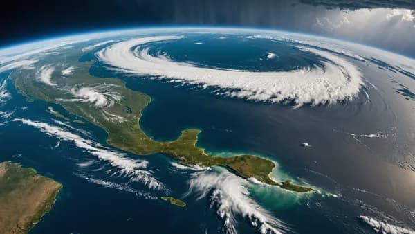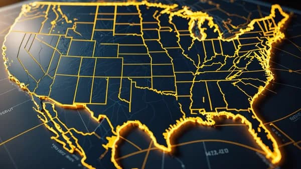
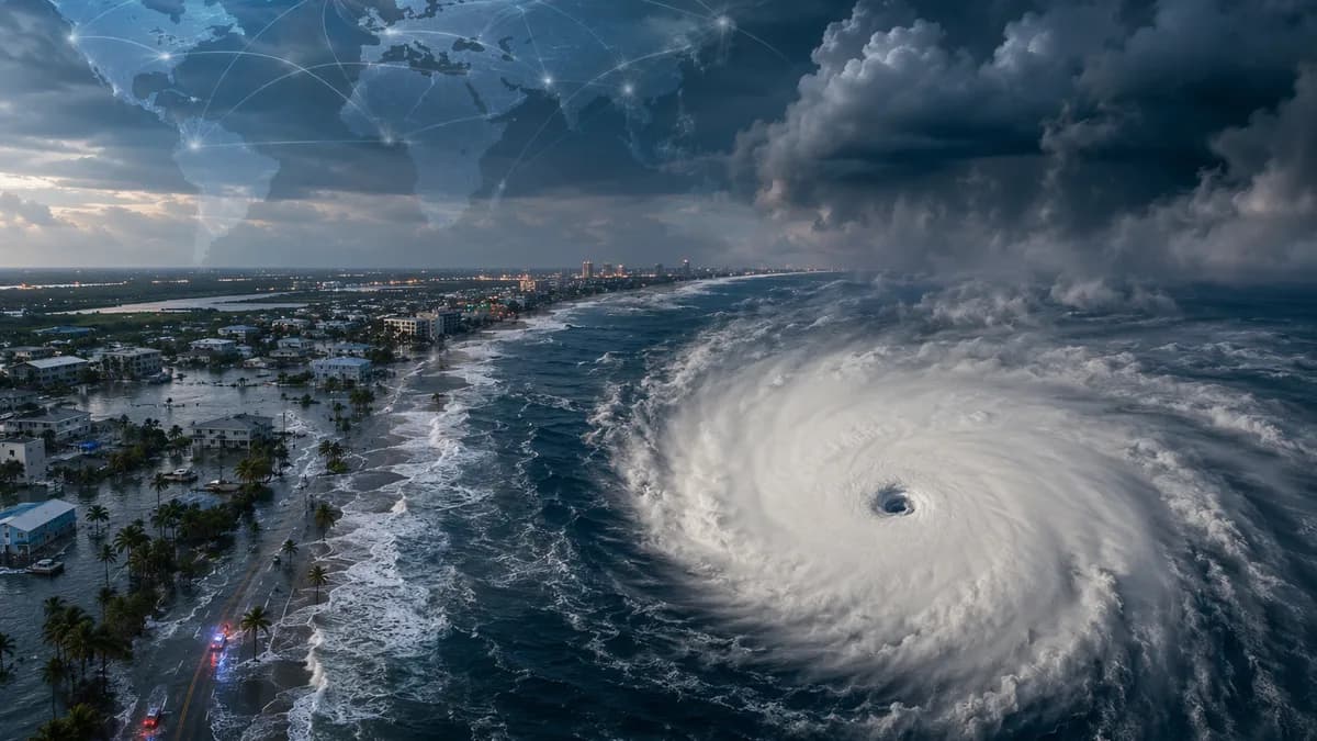
50mph Tropical Storm Bertha is crawling across the Gulf of Mexico toward the northern Gulf Coast, putting parts of Florida, Alabama, Mississippi and Louisiana at risk from heavy rain, coastal flooding, storm surge and isolated tornadoes.
XOOMAR Intelligence
Analyst Take
The storm was about 110 miles (177km) south of Panama City, Florida, and 170 miles (274 km) south-east of Mobile, Alabama, on Tuesday morning, according to Guardian World, citing the Miami-based National Hurricane Center. Bertha was moving north-west at 5mph (8 kph) with maximum sustained winds of 50mph (80 kph).
Tropical Storm Bertha strengthens to 50mph as alerts stretch from Florida to Louisiana
Tropical Storm Bertha gained 10mph (16kph) in wind speed since forming Monday night, a modest jump that still matters because the system is moving slowly. Slow storms can turn rain into the main event, especially when bands keep feeding into the same coastal zones.
A tropical storm warning was in effect early Tuesday from the Florida and Alabama border to the Jefferson and Plaquemines parish line in Louisiana. That means tropical storm conditions are expected somewhere inside the warning area within 36 hours.
A storm surge watch was issued from the Alabama and Florida border to the mouth of the Mississippi River. The NHC said that type of alert signals possible life-threatening water moving inland from the coast within 48 hours.
| Alert | Area named in source material | Main threat |
|---|---|---|
| Tropical storm warning | Florida and Alabama border to Jefferson and Plaquemines parish line in Louisiana | Tropical storm conditions within 36 hours |
| Storm surge watch | Alabama and Florida border to mouth of the Mississippi River | Possible life-threatening surge within 48 hours |
| Tropical storm watches | Parts of the Florida Panhandle and Louisiana, including the New Orleans metro area, Lake Pontchartrain and Lake Maurepas, according to CBS News citing NHC alerts | Tropical storm conditions possible |
Bertha is expected to stay near or along the northern Gulf Coast, dropping heavy rain on coastal areas of Florida, Alabama, Mississippi and Louisiana while pushing west toward Texas. That track keeps the coastline exposed for longer than a faster-moving storm would.
“A slow northwestward to west-northwestward motion is expected today followed by a turn westward by the middle part of this week,” the hurricane center said. “On the forecast track, Bertha will move near or along the northern Gulf Coast during the next several days.”
Bertha is the second tropical storm of the Atlantic hurricane season, after Tropical Storm Arthur brought heavy rainfall to the southeastern US in June.
Bertha’s slow Gulf track raises flooding, surge and tornado risk through Friday
The NHC warned that potentially life-threatening storm surges of up to 4ft (1.2 meters) are possible in portions of Louisiana, Alabama and Florida. Forecasters also said Bertha could spin off an isolated tornado or two over the Florida Big Bend region.
Rain is the bigger practical danger. Areas of flash flooding were possible through Friday along the coast from western Florida to middle Texas, with rainfall of 3in to 5in (7cm to 12cm) along the Louisiana coastline and higher amounts in scattered areas.
That combination puts low-lying coastal communities, barrier islands, flood-prone roads, bayous and river-adjacent areas under pressure. XOOMAR analysis: Bertha’s 50mph winds do not need to reach hurricane strength to create a dangerous event if surge and rainfall arrive over several tide cycles.
The source material confirms early local preparations. At Orange Beach, Alabama, red flags warned swimmers about high surf and currents. In Escambia county, Florida, emergency officials offered sand for residents in flood-prone areas to make sandbags.
The source material does not confirm school closures, flight delays, port restrictions, power outages or water rescues as of Tuesday morning. Those remain local operational decisions. The risk profile, however, is clear: water, not wind speed alone, is driving the threat.
For readers tracking broader natural hazard alerts in the region, XOOMAR’s recent coverage includes 7.3 Mexico Earthquake Sends Coast Into Tsunami Scare and 7.3 Mexico-Guatemala Earthquake Spares Region, Barely.
Emergency preparations begin as Bertha’s outer bands threaten before the center arrives
Conditions can deteriorate before Bertha’s center reaches land. Outer rain bands, rough surf and surge can arrive early, especially along exposed beaches and bays.
The practical checklist follows directly from the NHC hazards: secure outdoor items before winds rise, charge phones, keep alerts on, avoid flooded roads and follow any evacuation or local emergency instructions if issued. Sandbags matter most in places that flood repeatedly or sit near poor drainage.
Forecasters will now track four variables: whether Tropical Storm Bertha strengthens again, how close its center stays to land, where the heaviest rain bands set up and whether the tornado risk expands inland. Weather.com reported that Bertha is fighting wind shear and dry air, but could still strengthen if its center remains over warm Gulf water longer.
There is also a second storm far offshore, but it is not a Gulf threat. Hurricane Fausto was in the eastern Pacific about 740 miles (1,191km) south-west of the southern tip of Mexico’s Baja California peninsula, with top sustained winds of 80 mph (129 kph). The NHC said no coastal watches or warnings were in effect for Fausto, though swells could create life-threatening surf and rip current conditions on the Baja California coast.
Bertha is the storm to watch on the US coast. The next advisories will show whether it hugs the northern Gulf Coast, drifts farther over water or survives far enough west to spread heavier rain toward Texas. Even without hurricane status, Tropical Storm Bertha can still produce life-threatening water hazards, and the slow track gives the Gulf Coast less room for complacency.
The Stakes
- Bertha’s slow movement raises the risk of prolonged heavy rain and flooding along the Gulf Coast.
- Storm surge could push dangerous water inland in parts of Florida, Alabama, Mississippi and Louisiana.
- Warnings mean residents in affected coastal areas may have limited time to prepare before conditions deteriorate.
Bertha coastal alerts
| Alert | Area | Main threat |
|---|---|---|
| Tropical storm warning | Florida-Alabama border to Jefferson-Plaquemines parish line in Louisiana | Tropical storm conditions within 36 hours |
| Storm surge watch | Alabama-Florida border to mouth of the Mississippi River | Possible life-threatening surge within 48 hours |
| Tropical storm watches | Parts of the Florida Panhandle and Louisiana | Potential tropical storm conditions |
Tropical Storm Bertha key speeds
Primary Sources & Disclosures

Written by
XOOMAR Insights Team
Research and Editorial Desk
The XOOMAR Insights Team pairs automated research with human editorial judgment. We track hundreds of sources across technology, fintech, trading, SaaS, and cybersecurity, cross-check the facts, and explain what happened, why it matters, and what to watch next. We do not just rewrite headlines. Every article is fact-checked and scored for reliability before it goes live, and we link back to the original sources so you can verify anything yourself.